Ternopil region
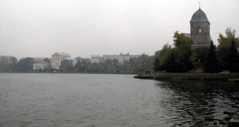
Ternopil region is situated in the west of Ukraine on Podolska Elevation, the maximum height is 443 metres. Winters are mild, summers are warm and humid. The territory has been populated since ancient times. It was included into Kievan Rus, was a part of Poland since the 14th century, was ruled by Austria-Hungary in 1772—1918, since 1809 it belonged to the Russian Empire, then from 1918 to 1939 it was a part of Poland again, since 1939 it was included into the Ukrainian SSR within the USSR, and finally it has been within Ukraine since 1991. It is an agricultural region. The cultivation of sugar beet, crops, and cattle raising are the key trends in agriculture. The most developed industries in the region are food industry, machinery and light industry. More than 120 rivers and streams of over 10 km long flow on the territory of the region; forests cover 14% of the territory; landscape parks, nature reserves, natural and landscape architecture monuments of regional and national importance take 15% of the territory. The most visited places are the Tovtrovy mountain ridge, the Kremenets Mountains, Dniester Canyon, and karstic caves. There are also many relics of the past, among them are Pochayiv Lavra, the Vyshnevetsky palace and the park of the 18th century, Bernardine Monastery in the town of Gusyatin, etc. One third of all preserved castles and castle buildings of Ukraine are situated in Ternopil region. The region has at round 20 health centers, many of them are based on local natural mineral waters. Despite enormous recreational and tourism resources, tourism associated infrastructure is still not very well developed. The main well-defined areas of tourism development are recreation tourism, educational tourism, green tourism, water tourism, rural tourism, mountain tourism, ecotourism, hiking, and sightseeing.
Галерея:


New reviews